


As we have been reporting, a major investigation has been launched into the "sickening" large-scale dumping of the shredded waste which was discovered last week at Cave’s Inn Pits, near Shawell.
Photographs show how layers of soil were used in a bid to conceal the mountain of trash which is causing pollution at the beauty spot which is a Site of Special Scientific Interest (SSSI).
We went to the scene to photograph and video the site for ourselves- and to endure the horrific smell. Now aerial images have emerged, which demonstrate the size of the incident.
The Environment Agency is appealing for anyone with information to come forward and report it to their incident hotline on 0800 80 70 60 or anonymously to Crimestoppers on 0800 555 111.
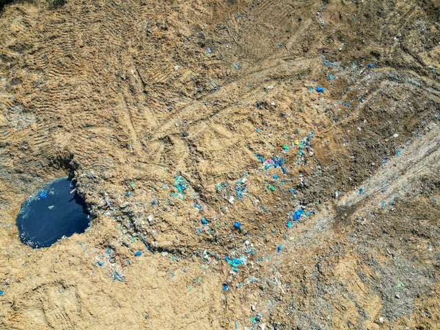
9. Tonnes of waste illegally dumped near Shawell
These aerial images show the scale of the horror near Shawell, where 30,000 tonnes of household rubbish was dumped at a protected site. Photo: Emma Trimble / SWNS
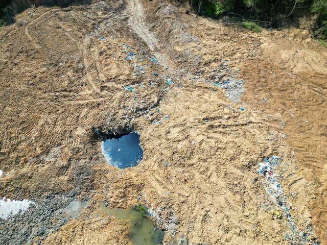
10. Tonnes of waste illegally dumped near Shawell
These aerial images show the scale of the horror near Shawell, where 30,000 tonnes of household rubbish was dumped at a protected site. Photo: Emma Trimble / SWNS